
The first geophysical survey of Disert was carried out by Earthsound Archaeological Geophysics in 2016, with a follow up in 2018 by Dr James Bonsall. The full geophysical survey reports are available in the Conservation Management Plan and the 2018 project report. Below is an extract with some aspects of interpretation in the light of other sources of information.
A magnetic gradiometer survey was undertaken in 2016 at a sample resolution of 0.5m x 0.25m . Areas of the enclosure were further investigated using an earth resistance meter at a sampling resolution of 1 x 0.5m. In general, the magnetic gradiometer data was not particularly useful to the study of this site due to near-surface high-contrast geology, particularly over the northern section of the survey area. The most significant anomaly was a 23m long ditch, approximately 1m in width.
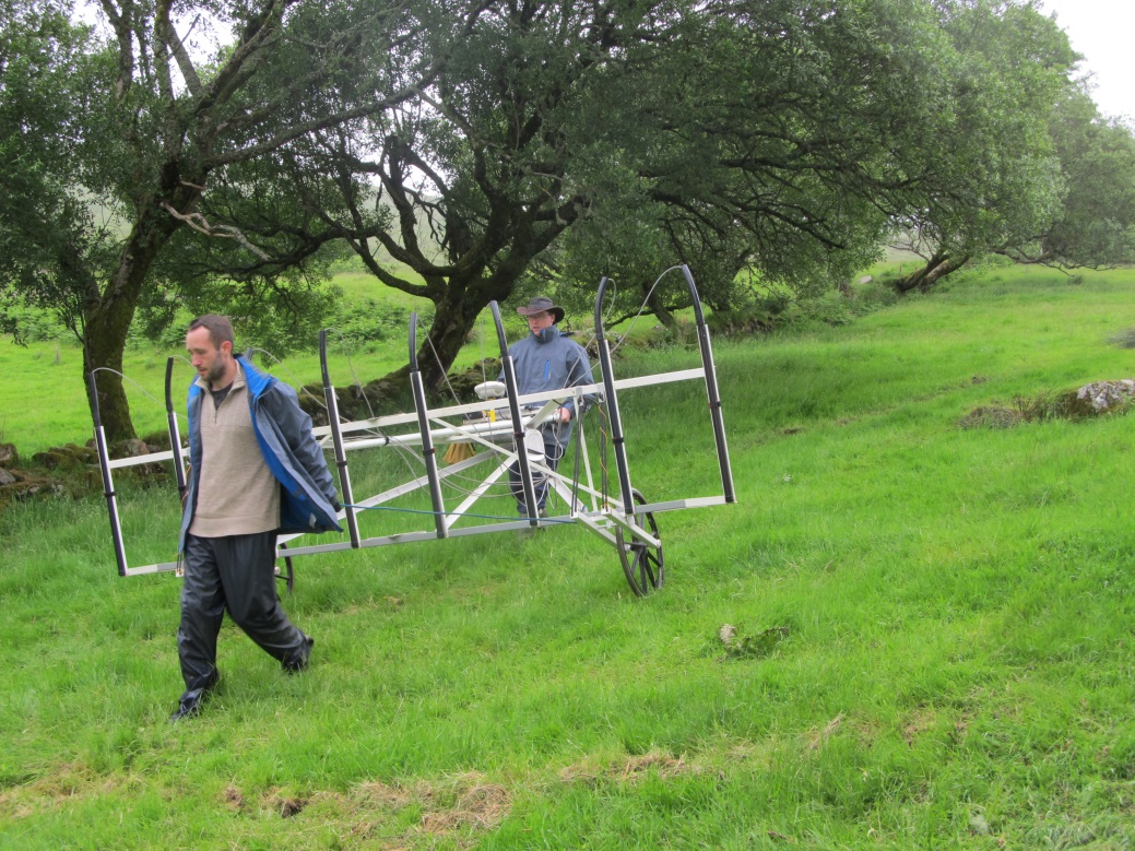
Fig: Magnetic gradiometer survey carried out by James Bonsall and Darren Regan
 Fig: Volunteers Aíne, Cormac and Sally undertaking the earth resistance survey
The earth resistance data was much more useful at locating archaeological features in 2016. Anomaly A represents a ditch located approximately 2.5m inside of the enclosure bank/wall. In the eastern field, the enclosure ditch is less defined as a discrete feature; however it appears to be traceable as an area of very wet soil going downhill. The aerial photograph suggests that this may continue further south as a noticeable gully/ditch that drains into the stream, however close examination of the DSM suggests that this linear extension to the Eany Beg is a later feature. Anomaly B is located within the enclosure ditch and represents a high resistance square. This appears to represent a single-celled stone structure, measuring approximately 6.5m x 6.5m. Anomaly C represents another ditch measuring approximately 90m in length, possibly forming another enclosure element. Anomaly D is a high resistance, sub-circular response that could represent a stone / bank feature, potentially a circular walled or embanked enclosure. The feature measures 17m in diameter, has a wide 6m break or opening to the south and is located between enclosure ditch A and ditch C. A linear anomaly, E, located to the west of D could represent a 26m long stony feature, such as a wall, bank or track. The feature appears to terminate at or near the edge of the stream. Examination with the aerial photography and DSM suggest that this may be a path or track to the graveyard from the site of the footbridge at the southern extent of the complex. Anomaly E appears to be cut by anomalies A, C and D. Anomaly F is represented by two moderate high resistance anomalies that appear to enclose the graveyard.

Fig: Earth resistance interpretation 2016.
Anomaly G represents an area of very wet soil. The edge of Anomaly G lies 9m to the southeast of the holy well. Anomaly G is surrounded by further deposits of low resistance, suggesting further high-moisture content soils, but drier than the core wet area of G. These deposits also lie around and mostly on the eastern side of the holy well. The core ‘very wet soil’ of G appears to drain downhill into a known boggy areas of rushes. It is possible that the wettest area of G corresponds to a spring associated with the well; however, the contrasts are so high and so discrete, as to suggest an edge which in turn implies an anthropogenic source. It is probable that Anomaly G represents a disturbed soil, possibly a pond or other human-induced excavation. The apparent termination of Anomaly C, interpreted as a ditch, at the edge of G also suggests an attempt at drainage or water management. Within the middle of the very wet soils, two separate anomalies of high resistance can be seen, one linear and one ‘L-shaped’, comprised of stony material suggestive of walls or banks. These further suggest an element of managing the landscape, possible as a boundary or dam feature.
Anomaly H, in the eastern field, is located in a wet area at the base of the hill. Anomaly H represents a 28m long linear high resistance deposit, indicative of a wall or bank. At its western end a square terminal occurs, which might represent the base of a structure. As described above, this anomaly is visible as a slightly raised bank on the digital surface models.
In 2018 a higher-resolution electrical resistance survey was carried out. Unfortunately, poor moisture contrasts were experienced following a prolonged dry summer. These impacted the results and did not allow for the identification of a suspected single-celled stone structure against the similarly high resistance background soils. However ditches containing moisture at depth were easily mapped as high contrast anomalies. The most significant new element added by the survey was the presence of an Enclosing Wall that extends around and beyond the limits of the graveyard. Inside this area, there is the suggestion of a possible walled structure, and two pits or sunken features, which the modern graveyard wall appears to kink around, suggesting that they predate its construction.


