
Here you can download a copy of the Preliminary Excavation Reports for 2019, 2021, 2022 and 2024, which were submitted to the National Monuments Service. Below you can see a short summary of findings from each year
2024
Disert, Co. Donegal, is a multi-period archaeological landscape. To date, evidence for activity was uncovered on the site ranging from the prehistoric period through to the nineteenth and twentieth centuries. 2024 was the fourth and final season of excavation and focused on understanding the features making up the enigmatic ‘arch enclosure’ at the eastern limit of the site, which had previously been interpreted as a megalithic tomb, and more recently as a potential monastic cell or sheepfold.
It is clear from the stratigraphic sequences developed that the western side of the ‘arch enclosure’ post-dates the ecclesiastical bank and internal ditch. As such, the interpretation of this enclosure as a megalithic tomb can be discounted. Instead, a complex picture emerges.
A substantial sub-rectangular stone structure lay just outside the ecclesiastical bank and appears to have been a central focus of activity. Initially thought to be a wall, the structure is extremely substantial and well-built, measuring c.2m by 1-1.2m, and constructed on a plinth. Its purpose is unclear, however one possibility is that it may have functioned as an altar or leacht outside the ecclesiastical enclosure. In support of this, a possible grinding stone or penitential stone, similar to those found on the known altar at the central graveyard at Disert (Beglane et al. 2018a), was recovered from the upper surface of the structure. A blue glass bead was recovered from a deposit immediately adjacent to, and post-dating the structure, so this may hint at an early medieval date for activities in this area. Radiocarbon dating of the deposits immediately to the northwest and respecting the structure should provide a terminus ante quem for the structure.
A stony bank that runs north-south from the unexcavated line of the ecclesiastical enclosure to the arch enclosure is likely to post-date the ecclesiastical bank, and also post-dates occupation/activity levels in Trench 7. The presence of a quern stone in these activity levels may indicate an early medieval date for these activities. Again, radiocarbon dating should provide a terminus post quem for this wall and a direct date for the occupation/activity level itself.
A newly discovered penitential station was built up against the boundaries of the enclosure and post-dates these features. It is not dissimilar in form to the free-standing platforms found within the cairns previously excavated in Trenches 3 and 5 (Beglane et al. 2022), which date to the late-medieval/post-medieval transition and the post-medieval/modern period (D-AMS051766 and D-AMS051765).
2022
Four trenches were active in the 2022 field season.
Trench 1
From Trench 1 it has become clear that the central enclosure of the site, defined by the graveyard and the now-unbounded area to the immediate south of the graveyard, sits on a drumlin, with a core of natural soil and stones of varying size. As determined last year (Beglane 2021), the south-west extent of this central enclosure, exposed in Area A, appears to have been revetted using densely packed field stones to bound the central enclosure. This would have prevented slippage of the enclosure and would also have formed a distinctive and attractive feature if left exposed after construction. This has been termed the Upper Revetment.
Below the Upper Revetment, in Area B and extending into Area H, was a flat region extending in a north-west direction. Excavation of this has yielded an infilled enclosure ditch, following the line of the potential ditch identified using geophysics. This ditch had a depth of c. 0.6m below the surrounding ground. At the mid-fill level the ditch appears to have used for in-situ craftworking. In previous years a number of fragments of some form of slag and a piece of half-melted glass were recovered, as well as limited areas of in-situ burning at upper fill levels. Extensive charcoal deposits identified in 2021 have now been revealed to be the result of three bowl-shaped depressions at the mid-fill level. Two of these were filled with alternating deposits of burnt soil and charcoal, while the third had a large flat slab at the base, with some evidence for burning, and had then been deliberately backfilled with heat-affected stone. Comparison with sites reviewed by Dolan (2012) and discussions with metalwork specialist Angela Wallace (pers. comm.) suggests that this may be evidence for metalsmithing taking place within the ditch. Since substantial quantities of charcoal were recovered from these features, it should be possible to date them, and it is likely that environmental information regarding the surrounding landscape will be obtained. A number of stone finds and some charcoal were recovered from the lowest fills of the enclosure ditch itself, and dating of these charcoal deposits will hopefully yield evidence for its origin, which is presumed to relate to the early medieval period.
Trench 3
In Trench 3, the 2021 excavation of cairn DG084-001010 showed that it had originated as two cairns. For 2022 no further work was conducted on the western cairn. At the end of 2021 the eastern Cairn appeared to be formed around a sub-rectangular central chamber, defined by stones C3090, including an upright slab, and filled with loose stone. In 2022 it became clear that what was thought to be stones forming the east side of this chamber were in fact supporting the upright slab in the centre of a larger, oval chamber, and that the limits of the chamber were further to the east. As with the western cairn, the height of these on the uphill, north side was less than on the downhill, south side, so that both of these appear to have originated as flat-topped platform features. Furthermore the upright slab was similar to that found in Trench 5, and both are likely to have formed the focal points of these platform cairns at the time of their creation.
To the east and north of the holy well, the slumped stone from the west side of cairn DG084-001009 has now been set back at less than the angle of repose and the material from this area rebuilt at the east side of the cairn, resulting in a much more stable structure. At the north-west extent of the cairn, immediately north of the well, an area of flat slabs was exposed which may at one time have formed a ‘shelf’ for placing and displaying offerings at the well. This has been re-covered to provide a stable slope at the northern extremity of the well. Overall, the work in this area has succeeded in fully exposing the well surround, and a temporary wooden cover has been put in place until a more permanent solution can be obtained.
No firm dating is yet possible for the cairn features. There are some charcoal samples that may be suitable for radiocarbon dating, including from low levels within the cairns. The majority of artefacts from this area are of nineteenth- to twenty-first-century origin. A few artefacts such as hammer stones and hone stones are difficult to date on stylistic grounds.
Trench 4
A scarped and flattened area was exposed in Trench 4. This forms the return for an inner enclosure pre-dating the current graveyard boundaries. This feature was visible topographically and in the geophysics, and may represent a base for a previous enclosure wall, fence, or other boundary of this inner enclosure. It surrounds the area of the cairns within the graveyard, including cairn DG084-001007, which was investigated in Trench 5.
Trench 5
The aim of Trench 5 was to investigate the nature of the possible upright slab in the centre of cairn DG084-001007. This cairn was located at the highest point within the site and provides a focal point for the site. The presence of an upright slab was confirmed; disappointingly however this was undecorated and weathered. As with the two cairns that make up DG084-001010 that were investigated in Trench 3, this cairn seems to have originated as a low, flat-topped platform surrounding and supporting the upright slab. To the south was a setting of white quartz stones, while to the north the platform was topped by flat slabs. The platform itself and the upright slab were left unexcavated and in situ. While a number of finds were recovered from Trench 5, none were closely datable and no charcoal was recovered.
The excavated lands at Disert are owned by Mrs Noreen Boyle and farmed by Con Boyle and are accessed across private lands owned by Ann Boyle and Breege Cleary. The cooperation and interest of these individuals is sincerely acknowledged as this project would not have been possible without them.
In 2022 the project was funded by Atlantic Technological University, California State University LA, the Institute for Field Research, and Creative Ireland, Donegal County Council and the Department of Tourism, Culture, Arts, Gaeltacht, Sport and Media.
Disert Community Excavation 21 June to 23 July 2021
As part of our contribution to The National Heritage Week for 2021, the Disert Heritage Group are putting forward a video of some of the findings of the recent excavation, presented by Dr Fiona Beglane. Due to COVID 19 restrictions this year’s excavation was a completely community-based project. During five weeks in June and July, a total of 33 people took part in opening two trenches and recording the findings A total of 33 people took part over the course of the excavation – we are very grateful to them all. Among the volunteers we had a mix of experienced archaeologists, former and current students of archaeology and folks who wanted to have a go. According to the feedback most people enjoyed the experience and learned or practiced new skills. Much of the day-to-day operations were recorded in short videos, participants introduced themselves and spoke a little about what they were doing, these videos can be viewed on the Disert Heritage page on Facebook.
The excavated lands at Disert are owned by Mrs Noreen Boyle and farmed by Con Boyle and are accessed across private lands owned by Ann Boyle and Breege Cleary. The cooperation and interest of these individuals is sincerely acknowledged as this project would not have been possible without them.
For 2021 this project was funded by IT Sligo and Donegal Co. Co. The project has been supported though the Colmcille1500 Grant Scheme which is funded by the North West Development Fund and Creative Ireland, in conjunction with and supported by The Executive Office and The Irish Government. In previous years we have also received funding from the Heritage Council, Institute for Field Research, Connecticut College, and California State University, LA.
Features and place name evidence suggest Disert may have its origins in the early medieval period or earlier. Local tradition is that this was a Columban foundation and various cures and miracles are associated with the site. Disert lies directly under Carnaween Mountain, another pilgrimage site, which has deep folkloric traditions around Fionn MacCumhaill. It continues to be culturally important, with a post-medieval pilgrimage that survives to this day. The overall aim of the excavation project is to investigate the nature and origin of the archaeological remains at Disert and to place them in their wider cultural and landscape context. 2021 was the second season of excavation and focused on key features identified during the first season in 2019 as well as excavation of a cairn adjacent to the holy well. In 2019 and 2021, evidence for activity was uncovered on the site ranging from the prehistoric period through to the nineteenth and twentieth centuries. Work continued in Trench 1 in 2021 and Trench 3 was opened to examine the western cairn at the holy well. It is hoped to continue excavation in 2022.
Trench 1
From Trench 1 it has become clear that the central enclosure of the site, defined by the graveyard and the now-unbounded area to the immediate south of the graveyard sits on a drumlin, with a core of natural soil and stones of varying size. The south-west extent of this central enclosure, exposed in Area A, appears to have been revetted using densely packed field stones to bound the central enclosure. This would have prevented slippage of the enclosure and would also have formed a distinctive and attractive feature if left exposed after construction. This has been termed the Upper Revetment, and small portions of it are becoming visible in the uphill, north-east extent of Area H.
Below the Upper Revetment, in Area B and extending into Area H, was a flat region extending in a north-west direction. Excavation of this has yielded evidence that this is an infilled enclosure ditch, following the line of the potential ditch identified using geophysics. The full depth of the ditch has not yet been determined, since the upper regions of the ditch appear to have used for in-situ craftworking. There is evidence for a number of hearths and dense deposits of charcoal, as well as a number of fragments of some form of slag and a piece of half-melted glass. In 2019, C68=C1068 was identified as a possible bank of yellowish stony material or possibly a natural deposit. Results from 2021 suggest that it forms the downhill edge of the ditch and is a Lower Revetment formed from redeposited natural and additional field stones.
Overall, the results from Trench 1 have added greatly to our knowledge of the construction of the central enclosure and have resulted in the identification of the ditch of the large outer enclosure. Furthermore, the substantial quantities of charcoal recovered mean that it should be possible to date the use of the site for craftworking at some later period after the initial construction of the ditch.
Trench 3
In Trench 3, the excavation of cairn DG084-001010 revealed unexpected results. There were at least six phases identified. The earliest phase identified so far is pre-cairn, with evidence for a possible metalled surface under the West Cairn. Two separate cairns were then constructed, using different construction methods.
The West Cairn was originally built as a flat-topped platform on a level surface of subsoil. Due to the lie of the land, which slopes downhill from north to south, it was formed from a ring or wall of stones, C3058, which consisted of a single layer of stones at the north extent, increasing in height on the downhill, south side. The interior of this feature was filled with soil containing some stone. This soil could potentially have been obtained from groundworks to prepare the subsoil, however there is no evidence to positively support this conjecture.
The East Cairn appears to be formed around a sub-rectangular central chamber, defined by stones C3090 and filled with loose stone. Around these were a series of overlying, concentric stone deposits forming a dry-stone wall, including, notably, C3066. Again, the height of these on the uphill, north side was less than on the downhill, south side, so that again these appear to have originally formed a flat-topped feature.
At some point a decision was made to join the East Cairn and West Cairn with a series of deposits including the extremely large stones C3057. However, having done this, further deposits were then added in the west and east regions so that two cairns were again built up. Finally, another layer of large stones, C3012, was laid on top, in the region between the two peaks, and above this, the cairn finally took on its pre-excavation form, with a single peak. The uppermost and outermost limits of the combined cairn, plus the upper portions of the East Cairn and West Cairn, were formed from small stones of c.0.05m to 0.1m in size. In local tradition, these were added to the cairn as part of the turas or pilgrimage, with pilgrims placing a stone on top of the various cairns around the site when they said prayers at each station. With few exceptions, deposits of this size of stone do not appear in the lower portions of the monument, stratigraphically below the very large stones C3057, suggesting that this tradition post-dates the deposition of these, when a first attempt was made to combine the two cairns into one.
No firm dating is yet possible for the cairn features. There are some charcoal samples that may be suitable for radiocarbon dating. The majority of artefacts from the cairns themselves are of nineteenth- to twenty-first-century origin. A few artefacts such as hammer stones and hone stones are difficult to date on stylistic grounds. Some of the large stones C3057 and C3012 have quarrying marks and it will be necessary to engage a suitable specialist to examine these.
2019
The Disert Heritage Project conducted the first season of an archaeological excavation between 1 July and 19 July 2019. This was carried out in conjunction with IT Sligo, California State University, LA, the Institute for Field Research, Connecticut College and Donegal Co Co. As well as the excavation itself there were a series of social and cultural events – see our Facebook page for details. The community events were supported by Donegal Co. Co. Heritage Office and Donegal Co. Co. Development Fund. We also hosted guided tours of the excavation and had places for community volunteers to take part in actually digging.
Disert, Co. Donegal DG084-001 is a multi-period archaeological landscape. Local tradition is that this was a Columban foundation and various cures and miracles are associated with the site. Disert lies directly under Carnaween Mountain, another pilgrimage site, which has deep folkloric traditions around Fionn MacCumhaill. As such Disert is of great archaeological and historical importance, and it continues to be culturally important, with a post-medieval pilgrimage that survives to this day.
The overall aim of the excavation research project is to investigate the nature and origin of the archaeological remains at Disert and to place them in their wider cultural and landscape context. 2019 was the first season of excavation and focused on key features previously identified through geophysics. While some geophysical anomalies proved to have geological rather than archaeological origins, evidence for activity was uncovered on the site ranging from the prehistoric period through to the nineteenth and twentieth centuries.
Much has been achieved in this first season of excavation. Two trenches were excavated. Trench 1 was divided into areas A to G, with areas A and B measuring c. 5m x 5m and areas C to G measuring 24.8m x 1.2m.
In Trench 1, a number of curvilinear geophysical anomalies in areas C, D, E, F and G have been shown to have geological rather than archaeological origins. There was no evidence of what the geophysics suggested may have been a potential ditch towards the south-western portion of the trench, nor was there evidence of a sub-circular enclosure in the central area, again suggested by geophysics. Two narrow linear anomalies running north-north-west/south-south-east across the location of the trench appear to reflect linear stone features found in the lazy bed ditches and so can be said to have been resolved.
In Areas A and B a more complex stratigraphy has been identified. Lazy bed banks and ditches overlie earlier features. The lazy beds run right up to the edge of the central enclosure DG084-001011, demonstrating that at one point the land was intensively farmed. Below these the most interesting features are a partly-excavated hearth and associated charcoal deposits. The presence of possible slag from the upper deposits elsewhere in the trench and of a lump of ferrous material directly overlying the hearth feature may point to evidence for metalworking on site. Further features have yet to be excavated in areas A and B, where the geophysics results suggest that the main enclosure ditch for the site continues.
In Trench 2, measuring 5m x 5m but excavated to natural across an area measuring 5m x 1.5m, the geophysics suggested the potential presence of a square-shaped stone building, however no evidence for this was recovered, and instead these anomalies appear to have again had a geological origin. The soil in Trench 2 was significantly deeper than in Trench 1 and there was no evidence for any lazy beds in this region, which lies inside the outer enclosure DG084-001001. Aerial photography supports this, showing that at the western side of the site the lazy beds do not extend far into the enclosure. This may indicate a desire on the part of earlier farmers to leave the main area of the site fallow, reflecting the importance of the graveyard and well to the community and the potential continued significance of the large outer enclosure DG084-001001 for gatherings associated with the turas.
Finds included nineteenth- and twentieth-century pottery and glass, clay pipe fragments, a pencil lead, possible tile fragments, a corroded ferrous object, a number of smoothed, rounded pebbles, prehistoric worked flints and a number of fragments of possibly-worked quartz. Soil samples, charcoal and animal bone were also recovered.We are currently working on the post-excavation analysis.
If you can help to fund this then we would really appreciate any donations you can make, however small.
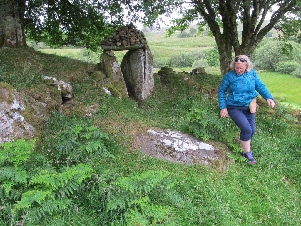
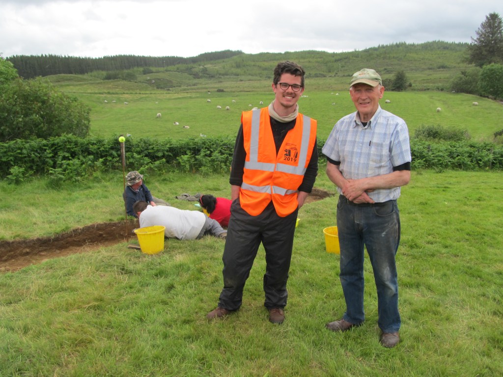
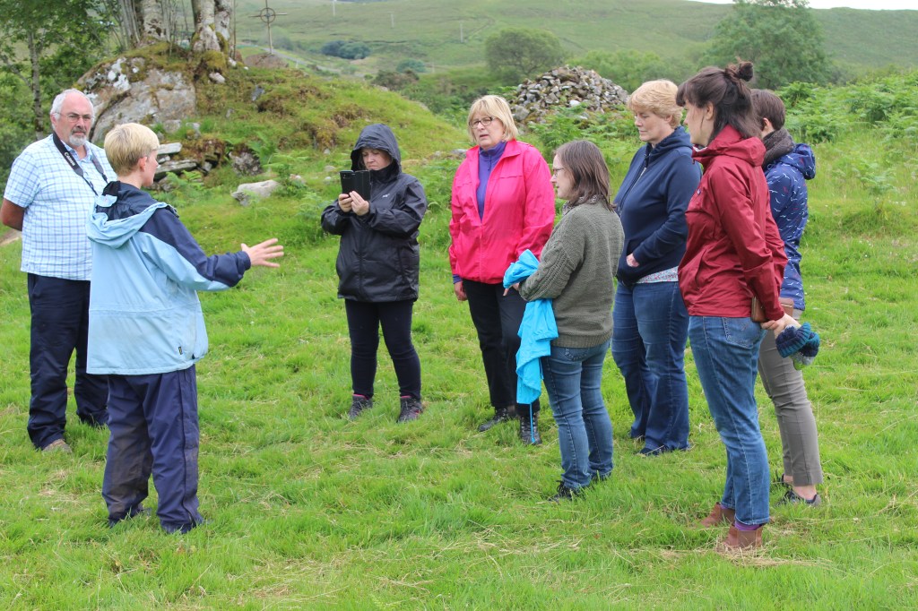
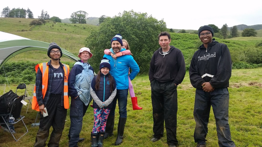
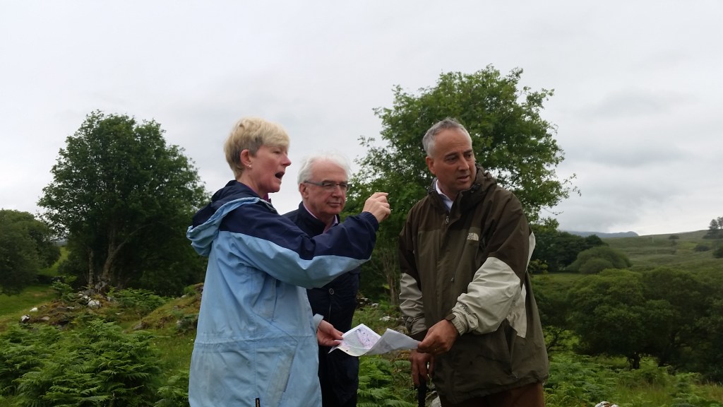
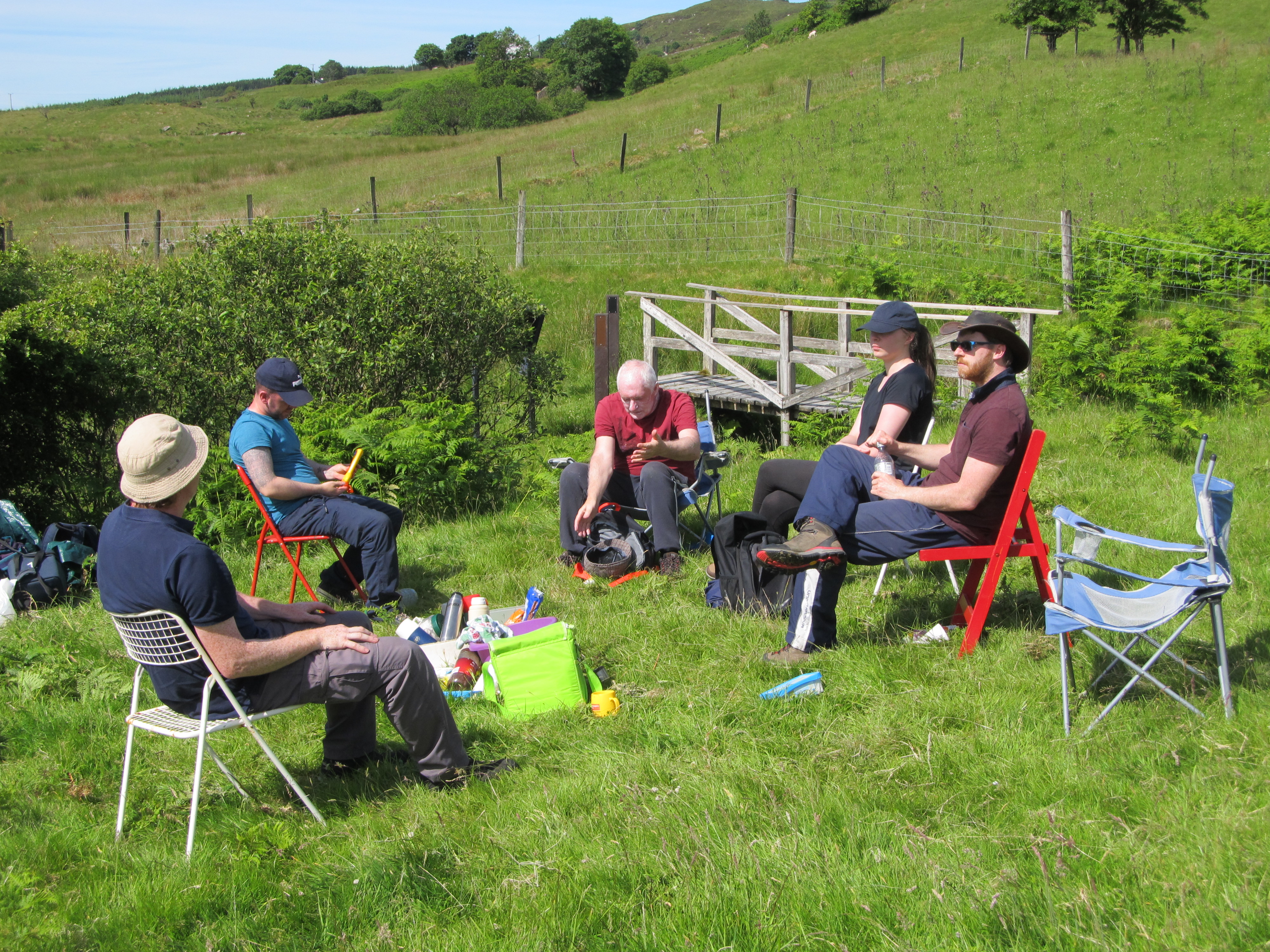
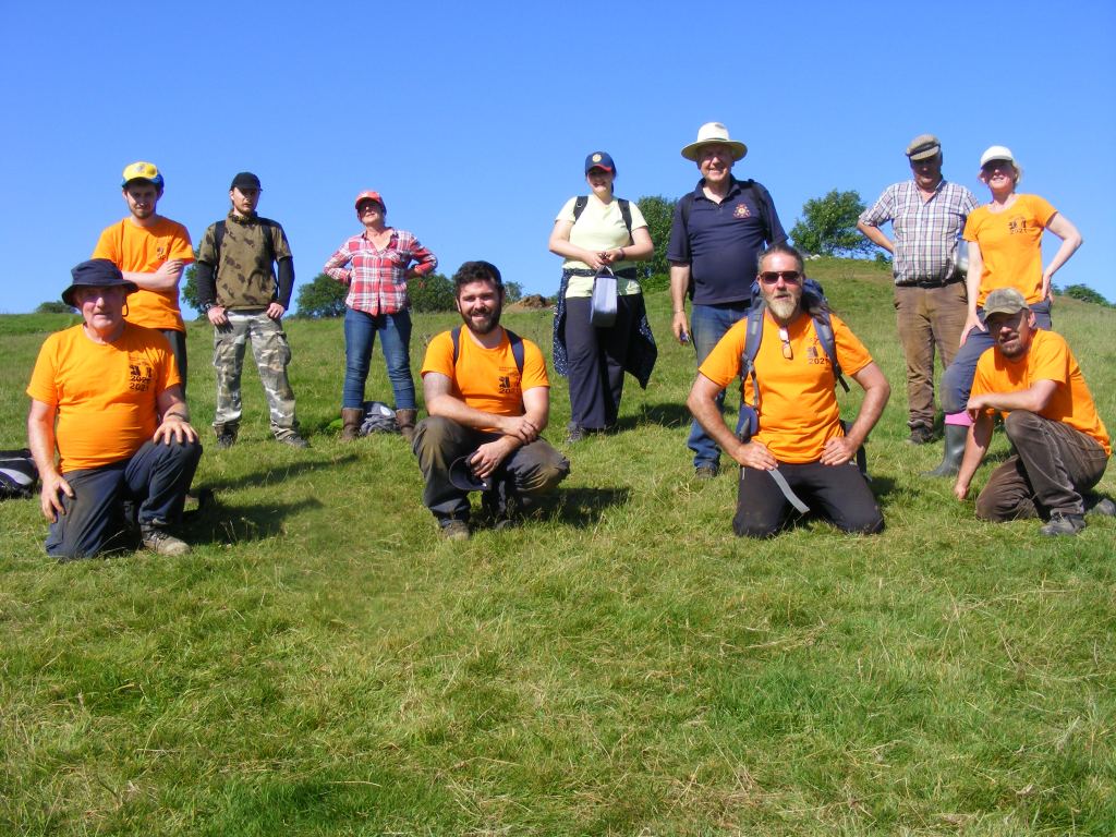
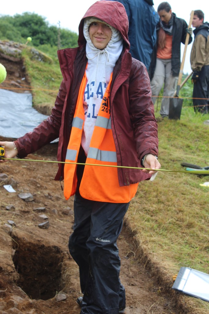
Some excavation photos:


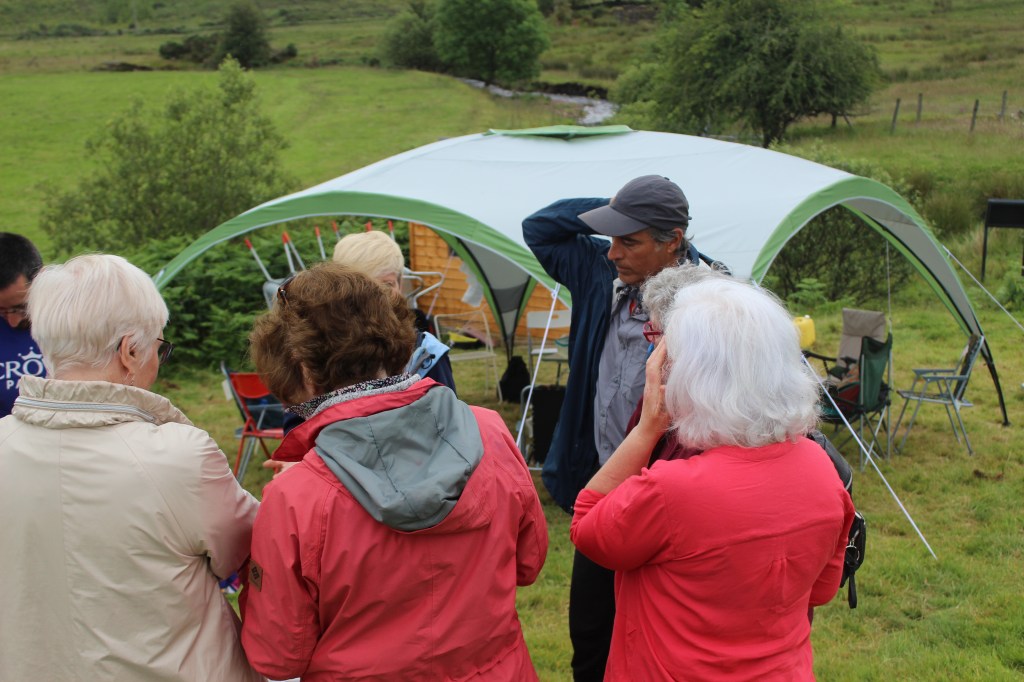
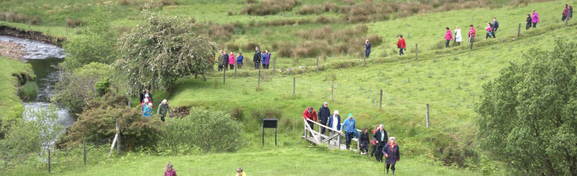
A montage of visitors – thank you to those who visited, and especially to those who brought home baking!